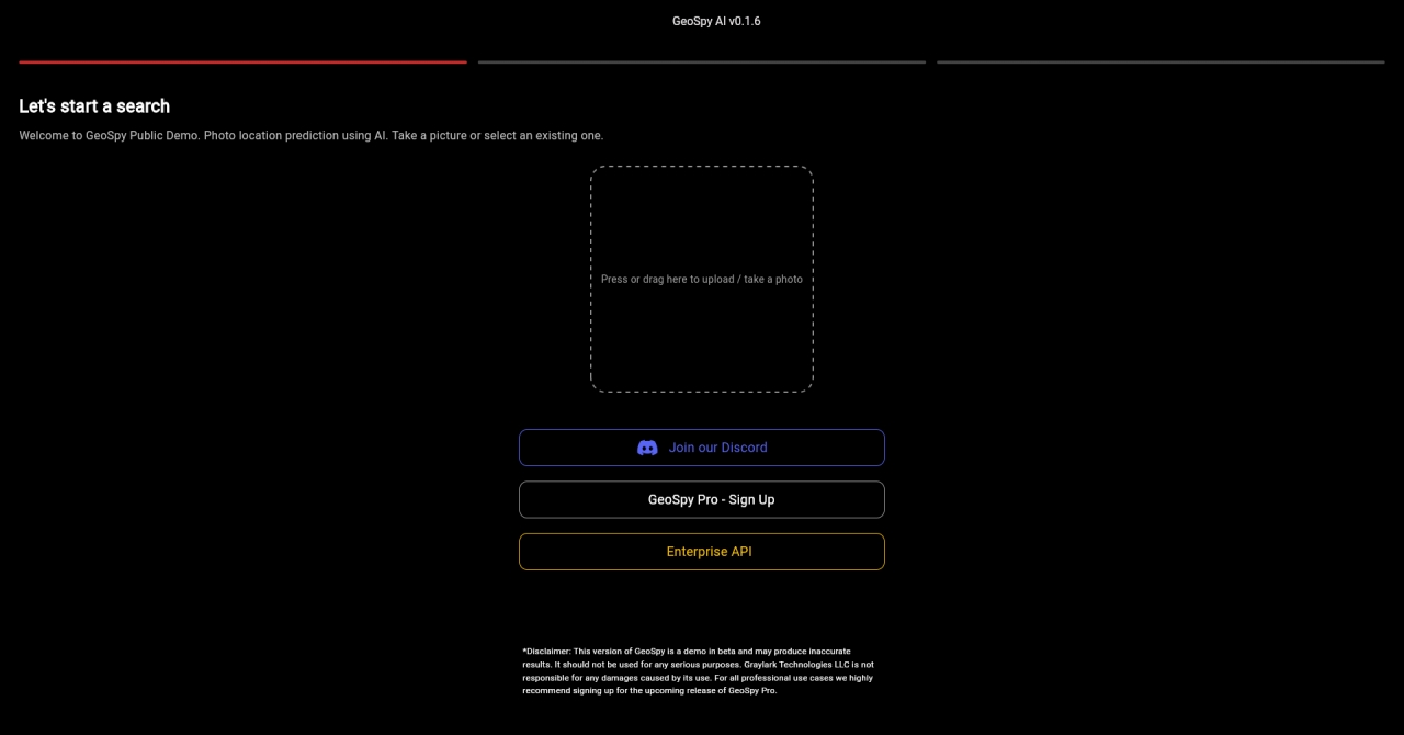
GeoSpy AI
열기 GeoSpy AIGeoSpy AI은(는) 무엇인가?
GeoSpy AI is an AI photo geolocation platform designed for law enforcement, government agencies, journalists, and investigators. It uses cutting-edge AI algorithms to extract unique features from photos and match them against learned geographic regions, countries, and cities. GeoSpy Pro can identify locations based on details that are not visible to the human eye. Users can collect and import large sets of photos for batch processing, gaining valuable insights such as patterns, outliers, and features. The platform helps users identify the when, where, and why hidden within pixels. GeoSpy AI offers next-generation photo geolocation powered by AI, empowering investigations. The platform is set to launch soon, offering a powerful tool for intelligence gathering and location prediction.
GeoSpy AI 특징
- AI photo geolocation platform for law enforcement
- AI powered intel platform for investigations
- Next generation photo geolocation powered by AI
- Pixels to Coordinates
- Cutting edge AI algorithms for location extraction
- Identify locations based on unique photo features
- Built for law enforcement, government, journalists, investigators
- Collect and import large sets of photos for batch processing
- Learn valuable insights from data patterns, outliers, features
- Identify hidden details within pixels
GeoSpy AI 자주 묻는 질문
- GeoSpy is a cutting-edge AI platform specialized in geo-estimation and location prediction, leveraging pixel data to accurately infer geographical locations.
- GeoSpy Pro is built for law enforcement, government agencies, journalists, and investigators.
- GeoSpy Pro uses cutting edge AI algorithms to extract unique features from photos and match those features against learned geographic regions, countries, and cities. It can identify locations based off details humans cannot see.
- GeoSpy Pro is built for law enforcement, government agencies, journalists, and investigators.
- You can learn valuable insights from your data like patterns, outliers, and features. GeoSpy helps identify the when, where, and why hidden within pixels.
GeoSpy AI Twitter
GeoSpy AI Twitter 링크:
https://x.com/GrayLark_io
GeoSpy AI Discord
GeoSpy AI Discord 링크:
https://discord.com/invite/erAHpmVR6y
GeoSpy AI Github
GeoSpy AI Github 링크:
https://github.com/Graylark-io/geospy-api-samples
GeoSpy AI 대체 옵션
Edit your images with AI. Remove unwanted objects, defects, or text in seconds. Enhance resolution, remove backgrounds, and compress images for a professional look on Shopify.
Paid
Everything you need to create images with AI: tools, resources, API, community, and pricing. Generate images from text, edit photos, and create videos with AI technology.
